Maps

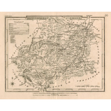
Map. Merionethshire.
MERIONETHSHIRE. J. & C. WALKER.
Map drawn by R. Creighton, engraved by J. & C. Walker, hand-coloured in outline, Unions marked, from..
£10.00
A Map of Monmouthshire from the Best Authorities.
MONMOUTHSHIRE. JOHN CARY.
Engraved County Map, hand-coloured in outline, from New British Atlas,..
£20.00
A New Map of Monmouthshire Divided into Hundreds Exhibiting Its Roads, Rivers, Parks, etc.
MONMOUTHSHIRE. JOHN CARY.
Hand-coloured engraved County Map, compass rose, from Cary's New English Atlas,Attractive finely co..
£32.00
Map. Monmouthshire drawn from the Best Authorities.
MONMOUTHSHIRE. THOMAS KITCHIN.
Engraved County Map, Title cartouche, arms of Monmouth.An attractive county map by Thomas Kitchin [..
£20.00
Map. The County of Monmouth.
MONMOUTHSHIRE. ROBERT MORDEN.
Engraved County Map, Title cartouche, from Camden's "Britannia"..
£25.00
Map of Monmouthshire.
MONMOUTHSHIRE. JOHN SELLER. FRANCIS GROSE
Engraved County Map, with text below, from Grose's "The Antiquities of England and Wales"An attract..
£20.00
Map of Monmouthshire.
MONMOUTHSHIRE. EMANUEL BOWEN.
Engraved County Map, above map, decorative cartouche with title "Road from Monmouth to Lanbeder", on..
£15.00
Map. Monmouthshire.
MONMOUTHSHIRE. J. COLE & G. ROPER.
Engraved County Map, shows hundreds, roads, mail coach routes, hills displayed by hachuring, imprint..
£10.00
Map of Monmouthshire
MONMOUTHSHIRE. THOMAS MOULE [1784-1851]
Engraved map by Thomas Moule, vignettes of Monmouth Town Hall, Chepstow Castle, and Tintern Abbey, t..
£15.00
Map. Montgomeryshire.
MONTGOMERYSHIRE. J. COLE & G. ROPER.
Engraved County Map, shows hundreds, roads, mail coach routes, hills displayed by hachuring, imprint..
£10.00
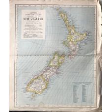
Statistical Map of New Zealand (65 miles to the inch)
NEW ZEALAND. LETTS SON & CO LTD.
Colour map, from Letts's "Popular Atlas", showing boundaries...
£20.00
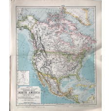
Statistical Map of North America (340 miles to the inch)
NORTH AMERICA. LETTS SON & CO LTD.
Colour map, from Letts's "Popular Atlas", showing boundaries...
£5.00
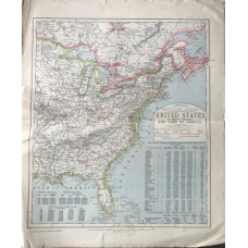
United States of North America and Part of Canada (Eastern Sheet) (140 miles to the inch)
NORTH AMERICA. LETTS SON & CO LTD.
Colour map, from Letts's "Popular Atlas", showing boundaries...
£5.00
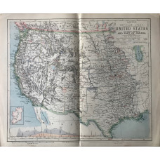
United States of North America and Part of Canada (Western Sheet) (140 miles to the inch)
NORTH AMERICA. LETTS SON & CO LTD.
Colour map, from Letts's "Popular Atlas", showing boundaries...
£15.00
