Maps

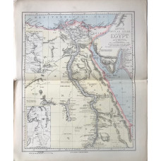
Egypt (45 miles to the inch)
EGYPT. LETTS SON & CO LTD.
Colour map, from Letts's "Popular Atlas", showing boundaries...
£5.00
A New and Accurate Map of England.
ENGLAND. BOWEN, THOMAS.
Engraved map, Title cartouche, from Middleton's Complete System of Geography,Thomas Bowen [fl. 1767-..
£60.00
Map of England.
ENGLAND. THOMAS MOULE [1784-1851]
Map by Thomas Moule, engraved by J. Bingley, 12 coats of arms in decorative border, inset plan of Lo..
£25.00
A Map of Essex from the Best Authorities.
ESSEX. CARY, JOHN
Engraved map by J. Cary, after E. Noble, compass rose, from Camden's Britannia,Large detailed map sh..
£40.00
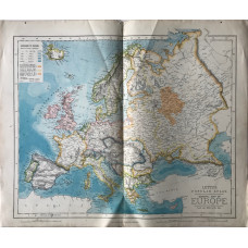
General Map of Europe. (230 miles to the inch)
EUROPE. LETTS SON & CO LTD.
Colour map, from Letts's "Popular Atlas", showing boundaries...
£5.00
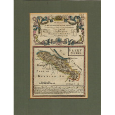
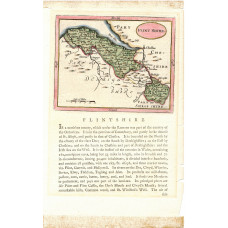
Map. Flintshire.
FLINTSHIRE. JOSHUA ARCHER.
Map drawn and engraved by J. Archer, with hand-colouring, from Dugdale's England and Wales Delineate..
£10.00
Map of Flintshire.
FLINTSHIRE. EMANUEL BOWEN.
Engraved County Map, with later hand-colouring; above map, decorative cartouche with title "Road fro..
£15.00
Map of Flintshire.
FLINTSHIRE. JOHN SELLER. FRANCIS GROSE
Engraved County Map, with text below and on verso, from Grose's "The Antiquities of England and Wal..
£20.00
Plan de Paris Divise en 20 Arrondissements, indiquant toutes les rues nouvelles.
FRANCE. GUILMIN, L.
Colour-printed folding plan, scale 1/16,000, showing roads, monuments, and metro...
£10.00
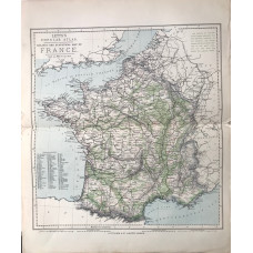
Railway and Statistical Map of France. (55 miles to the inch)
FRANCE. LETTS SON & CO LTD.
Colour map, from Letts's "Popular Atlas", showing railways and boundaries...
£5.00
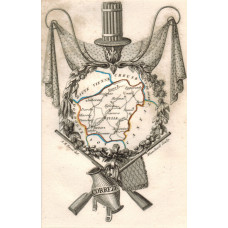
'Correze'. Map of the department, engraved by Blanchard.
FRANCE. A.M. PERROT.
Engraved map, hand-coloured in outline, decorative cartouche of crossed guns and jug, from 'Ancienn..
£15.00
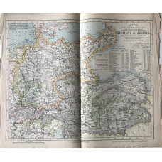
Statistical Map of the Empires of Germany & Austria. (65 miles to the inch)
GERMANY. LETTS SON & CO LTD.
Colour map, from Letts's "Popular Atlas", showing railways and boundaries...
£5.00
Map of Herefordshire.
HEREFORDSHIRE. THOMAS MOULE [1784-1851]
Engraved map by Thomas Moule, vignettes of Goodrich Castle, Hereford and Garnstone House, three coat..
£15.00
Map. Hertfordshire.
HERTFORDSHIRE. JOSHUA ARCHER.
Map drawn and engraved by J. Archer, hand-coloured from Dugdale's England and Wales Delineated,..
£10.00
Map. Huntingdonshire.
HUNTINGDONSHIRE. JOSHUA ARCHER.
Map drawn and engraved by J. Archer, from Dugdale's England and Wales Delineated,..
£10.00
