Maps

Bedfordshire. Map.
BEDFORDSHIRE. JAMES PIGOT.
Engraved County Map, hand-coloured in outline, vignette of Luton Church, from Pigot & Co's "British ..
£30.00
Map. Berkshire.
BERKSHIRE. JOSHUA ARCHER.
Map drawn and engraved by J. Archer, from Dugdale's England and Wales Delineated,..
£10.00
Berkshire. Map.
BERKSHIRE. A. FULLARTON
Engraved map, showing roads and hundreds, with vignette of Windsor Castle,..
£10.00
Map of Berkshire.
BERKSHIRE. THOMAS MOULE [1784-1851]
Engraved map by Thomas Moule, vignettes of Windsor, Windsor Castle, Virginia Water and Abingdon,..
£15.00
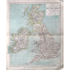
British Isles (42 miles to the inch)
BRITISH ISLES. LETTS SON & CO LTD.
Colour map, from Letts's "Popular Atlas", showing boundaries...
£10.00
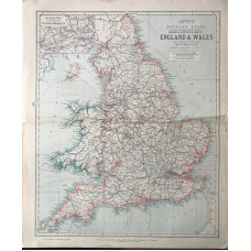
Railway & Statistical Map of England & Wales (28 miles to the inch)
BRITISH ISLES. LETTS SON & CO LTD.
Colour map, from Letts's "Popular Atlas", showing railways..
£10.00
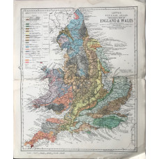
Geological Map of England & Wales (28 miles to the inch)
BRITISH ISLES. LETTS SON & CO LTD.
Colour map, from Letts's "Popular Atlas", showing railways and rocks...
£40.00
A New Map of the County of Buckinghamshire Divided into Hundreds.
BUCKINGHAMSHIRE. CHARLES SMITH.
|Hand-coloured engraved County Map, compass rose, from Smith's New English Atlas,Attractive finely c..
£35.00
An Atlas of Antient and Modern Geography. Edited by the Author's Son.
BUTLER, SAMUEL
48 hand-coloured engraved maps by S. Hall, plate of plans, lacking 2 double-page maps of the world,..
£150.00
Map. Cambridgeshire.
CAMBRIDGESHIRE. J. COLE & G. ROPER.
Engraved County Map, shows hundreds, roads, mail coach routes, hills displayed by hachuring, imprint..
£10.00
Cambridgeshire, from a Trigonometrical Survey.
CAMBRIDGESHIRE. CHARLES MASON.
Engraved County Map, showing hundreds, by Neele, from Lyson's "Magna Britannia",..
£25.00
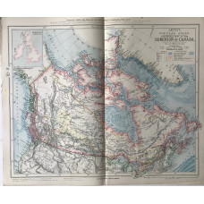
Statistical Map the Dominion of Canada (250 miles to the inch)
CANADA. LETTS SON & CO LTD.
Colour map, from Letts's "Popular Atlas", showing minerals and explorers' routes..
£8.00
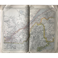
Statistical and General Map of Canada, on four sheets, (28 miles to the inch)
CANADA. LETTS SON & CO LTD.
Colour map, from Letts's "Popular Atlas",..
£40.00
