Maps

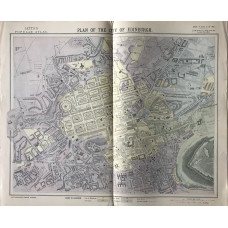
Plan of the City of Edinburgh (scale 8 inches to the mile)
SCOTLAND. LETTS SON & CO LTD.
Colour plan, from Letts's "Popular Atlas".A pleasing detailed plan...
£35.00
Shropshire. Map.
SHROPSHIRE. A. FULLARTON
Engraved map, showing rivers, roads and hundreds,..
£10.00
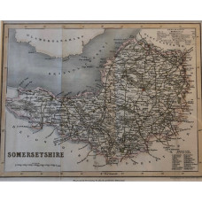
Somersetshire. Map.
SOMERSETSHIRE. JOSHUA ARCHER.
Map drawn and engraved by J. Archer, with hand-colouring, from Dugdale's England and Wales Delineate..
£10.00
A New Map of Staffordshire drawn from the Best Authorities.
STAFFORDSHIRE. THOMAS KITCHIN [1718-1784].
Hand-coloured engraved county map, title cartouche...
£35.00
A New Map of Staffordshire drawn from the Best Authorities.
STAFFORDSHIRE. THOMAS KITCHIN.
Engraved County Map, Title cartouche.An attractive county map by Thomas Kitchin [1718-1784]...
£20.00
Staffordshire.
STAFFORDSHIRE. CARY, JOHN
Map engraved by J. Cary, partly hand-coloured, 1793,..
£25.00
Staffordshire.
STAFFORDSHIRE. A. FULLARTON
Engraved map, showing rivers, roads and hundreds,..
£10.00
Map of Staffordshire.
STAFFORDSHIRE. JOHN SELLER. FRANCIS GROSE
Engraved County Map, with text below, from Grose's "The Antiquities of England and Wales"An attract..
£20.00
Map. Staffordshire.
STAFFORDSHIRE. G. & W.B. WHITTAKER.
Engraved County Map, shows hundreds and roads, from Capper's "Topographical Dictionary"..
£10.00
Suffolk. Map.
SUFFOLK. CREIGHTON. LEWIS.
Map drawn by R. Creighton, engraved by T. Starling, from Lewis's Topographical Dictionary,..
£10.00
Cyclists' Map of the County of Surrey Reduced from the Ordnance Survey.
SURREY. PHILIPS'
Folding linen-backed map, cycling information over-printed in red,..
£15.00
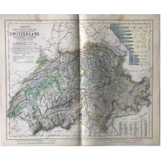
Switzerland (15 miles to the inch)
SWTIZERLAND. LETTS SON & CO LTD.
Colour map, from Letts's "Popular Atlas", showing railways and boundaries...
£5.00
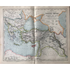
Turkish Empire in Europe and Asia; Greece, Bulgaria, Etc. (scale 110 miles to an inch)
TURKEY. LETTS SON & CO LTD.
Colour map, from Letts's "Popular Atlas", showing boundaries...
£15.00
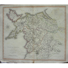
A Map of North Wales from the Best Authorities.
WALES. JOHN CARY.
Engraved County Map, later hand-colouring in outline, from New British Atlas,..
£15.00
Town Plan by Robert Dawson, streets, boundaries, rivers.
WALES. CRICCIETH.
Hand-coloured lithograph, Scale 2in to 1 mile, from Report of Municipal Corporation Boundaries,..
£10.00
