British Topography and Local History

British Topography, Local History and Architecture
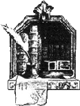
'Photogenic Drawing'. Article with one diagram, by H. From, The Visitor, or Monthly Instructor for 1840.
PHOTOGENIC DRAWING.
4pp.Makes reference to the methods not only of William Fox-Talbot, but also the contributions of Coo..
£20.00
A European Armorial. An Armorial of Knights of the Golden Fleece and 15th Century Europe from A Contemporary Manuscript.
PINCHES, ROSEMARY & WOOD, ANTHONY (Ed.)
Colour and black and white illus., index; 222pp...
£25.00
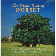
The Great Trees of Dorset.
POLLARD, ANDREW & BRAWN, EMMA
Colour photographic illus. by COLIN VARNDELL; 112pp...
£10.00
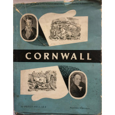
Cornwall. Vision of England Series.
POLLARD, P.
Illus. by SVEN BERLIN, photographic illus., index, map; 48pp text; some spotting on title...
£10.00
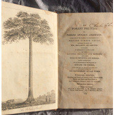
The Forest Pruner; Or, Timber Owner's Assistant: A Treatise on the Training or Management of British Timber Trees; Whether intended for Use, Ornament, or Shelter: including an Explanation of the Causes of their General Diseases and Defects, with the Means
PONTEY, W.
Frontispiece of the Woburn Beech, 7 other engraved plates, including 4 printed in sepia with hand ti..
£100.00
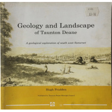
Geology and Landscape of Taunton Deane A Geological Exploration of South West Somerset.
PRUDDEN, HUGH
Illus., diagrams, maps, index; 141pp...
£10.00
The Green ABC Railway Guide June 1943.
RAILWAY AND SHIPPING PUBLISHING COMPANY. Publisher)
Time tables, adverts; 129pp...
£20.00
Gradients of the British Main-Line Railways.
THE RAILWAY MAGAZINE.
Cross-sections of lines...
£10.00
